Seville sits roughly 80 kilometers from the Atlantic, and yet for close to two centuries it was, in practical terms, Spain's only port to the Americas. The explanation is a single river, the Guadalquivir, and the fact that until fairly recently it was deep enough and tidal enough to carry ocean-going ships all the way to the city's docks. Everything that follows in this guide — the wealth behind the cathedral, the archive full of shipping manifests, the grid of merchant houses in the old town — traces back to that one piece of hydrology.
A river that behaved like a harbor
The Guadalquivir is tidal well upstream of Seville, which is the part people find hardest to picture. Twice a day the Atlantic pushes a wedge of seawater back up the channel, lifting the water level enough that a loaded sailing ship could ride it in from the coast near Sanlúcar de Barrameda and tie up alongside the city itself. No other river in Iberia offered this combination of depth, tidal reach, and a sheltered course inland, out of sight of raiders and foreign fleets. Seville was, in effect, a sea port that happened to be built a long walk from the sea.
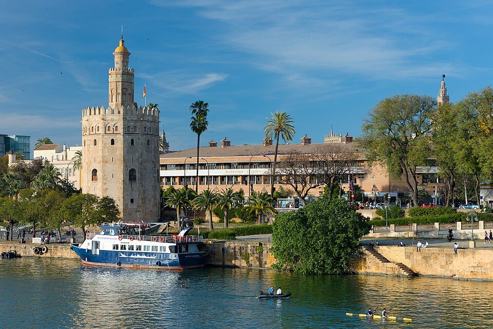
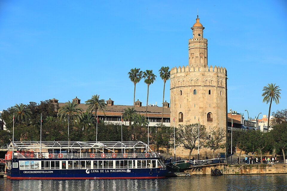
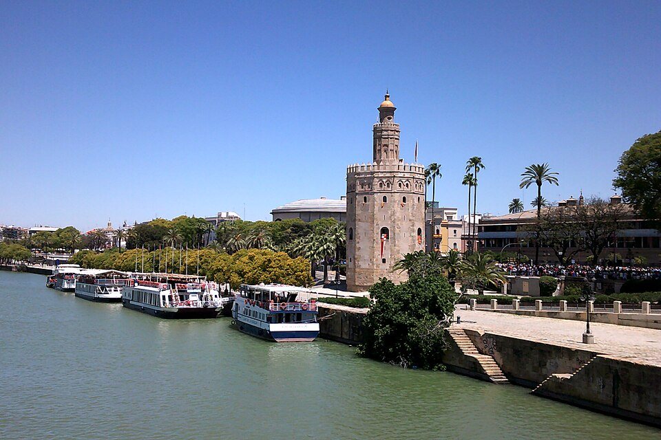
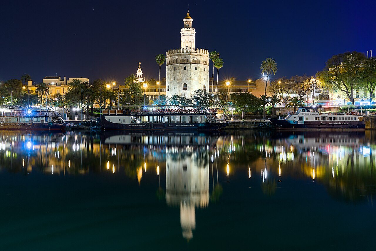
The Spanish Crown made this official in the early sixteenth century by routing all legal trade with its American territories through Seville. A single institution, the Casa de Contratación, controlled who could sail, what they could carry, and how the proceeds were taxed and recorded — and its surviving paperwork now fills the Archivo de Indias. Ships bound for the Caribbean and back loaded and unloaded along the riverbank that is now the city's waterfront promenade, with the gold-tiled Torre del Oro standing watch at the water's edge, originally one end of a chain that could be stretched across the river to block hostile vessels.
⭐ Stand at the Torre del Oro and look at the width of the river today — it's modest. Then remember that this was once crowded with the equivalent of transatlantic cargo ships, and the scale of what the Guadalquivir used to do becomes easier to grasp.
Why the water eventually ran out
The same river that made Seville's fortune also quietly undid it. The Guadalquivir carries a heavy sediment load, and over decades the channel downstream of the city kept silting up, shifting sandbars and shrinking the depth available to larger ships. By the late seventeenth century, vessels were increasingly having to stop at Cádiz, on the open coast, and transfer cargo onto smaller boats for the final stretch upriver — an expensive, risky extra step that defeated much of the point of an inland port. In 1717, the Crown formally moved the Casa de Contratación to Cádiz, and Seville's monopoly on American trade ended. The city didn't collapse, but its role in Atlantic commerce never fully recovered.
⚠️ It's tempting to tell this as a story of simple decline, but Seville's merchant and administrative class stayed wealthy and influential well after 1717 — the money had already built churches, palaces, and institutions that weren't going anywhere. The river stopped being the city's main business; it didn't stop being its defining feature.
Straightening a river for a modern city
The Guadalquivir that runs through Seville today is not entirely the one ships navigated in the colonial period. In the twentieth century, engineers cut a new, straighter channel to the south of the city — the Corta de Tablada — to bypass a looping meander and improve flow and flood control. The old meander became a separate, mostly enclosed waterway, now known as the Canal de Alfonso XIII, which runs along the city's working port area. What tourists photograph from the Puente de Triana and the riverside paths is this reshaped, partly artificial river, not the exact original course. It's still the Guadalquivir; it's just been edited.
This matters for a visitor mainly in one way: don't assume the river's current, tidy path through the historic center is untouched nature. It's a working piece of infrastructure that's been straightened, dredged, and locked specifically to keep the city's relationship with the water functional after the original channel stopped cooperating.
The river as a dividing line
Long before any of this engineering, the Guadalquivir already split Seville in two, and it still does. The eastern bank held the cathedral, the royal palace, the merchant houses, and the institutions of government — the Seville of power and money. The western bank held Triana, the neighborhood of sailors, potters, and dockworkers, the people who actually crewed the ships and built the tiles. The two sides were connected for centuries only by a bridge of boats, replaced in the nineteenth century by the iron Puente de Triana, which still carries that same east-west crossing today and remains one of the most-photographed structures in the city.
Walking that bridge now, with the water running low and calm below, it's worth remembering that Triana's residents were the ones who actually went to sea — many of the sailors on the Americas run came from this side of the river, not from the grander quarters opposite. The social geography of maritime Seville was never subtle: wealth and record-keeping on one bank, labor and departure on the other.
Seeing the river today
The working river has shifted downstream toward the modern port facilities, but the historic stretch through the center is still very much in use — for rowing clubs, for sightseeing boats, for the annual flotilla of small craft during the city's festivals. Riverside paths on both banks make for one of the easiest orientations to the city: walk from the Torre del Oro along the eastern bank and the relationship between water, trade, and power becomes physically obvious in a way no museum label quite manages.
For a longer view of what all this river traffic was actually moving, the Archivo de Indias holds the paperwork, and day trips downriver toward Sanlúcar de Barrameda retrace the route ships actually took to reach the Atlantic. Closer to home, getting around the city on foot or by tram will cross the Guadalquivir more than once without most visitors even registering that they've crossed a river that briefly, improbably, ran an ocean.
In pictures